In the field
Shore lots, corners, and a sealed plan.
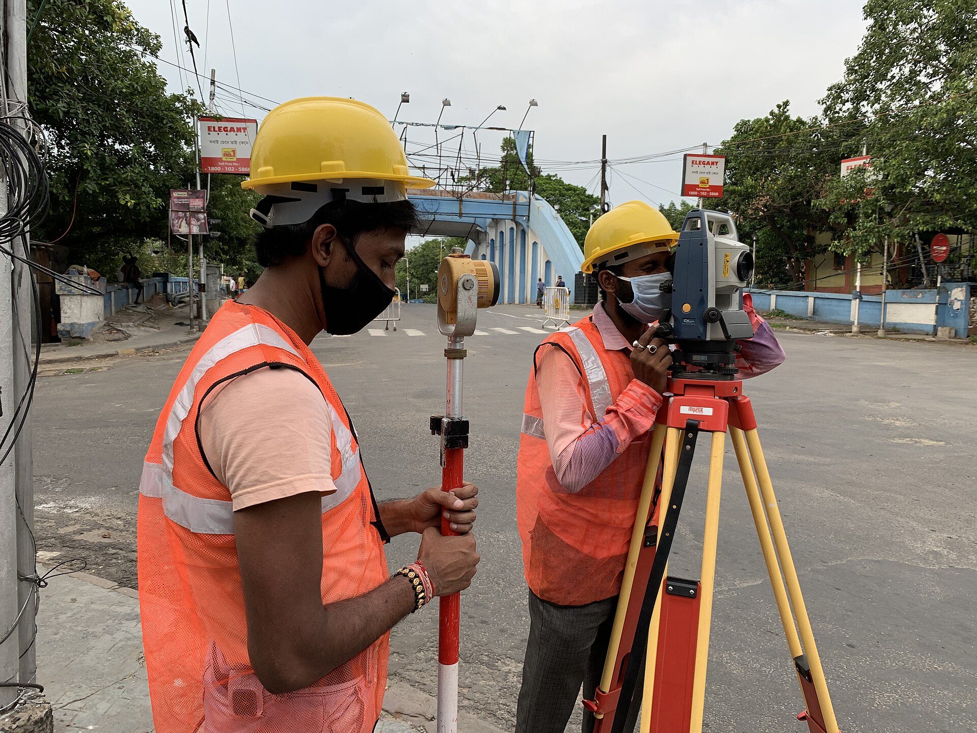
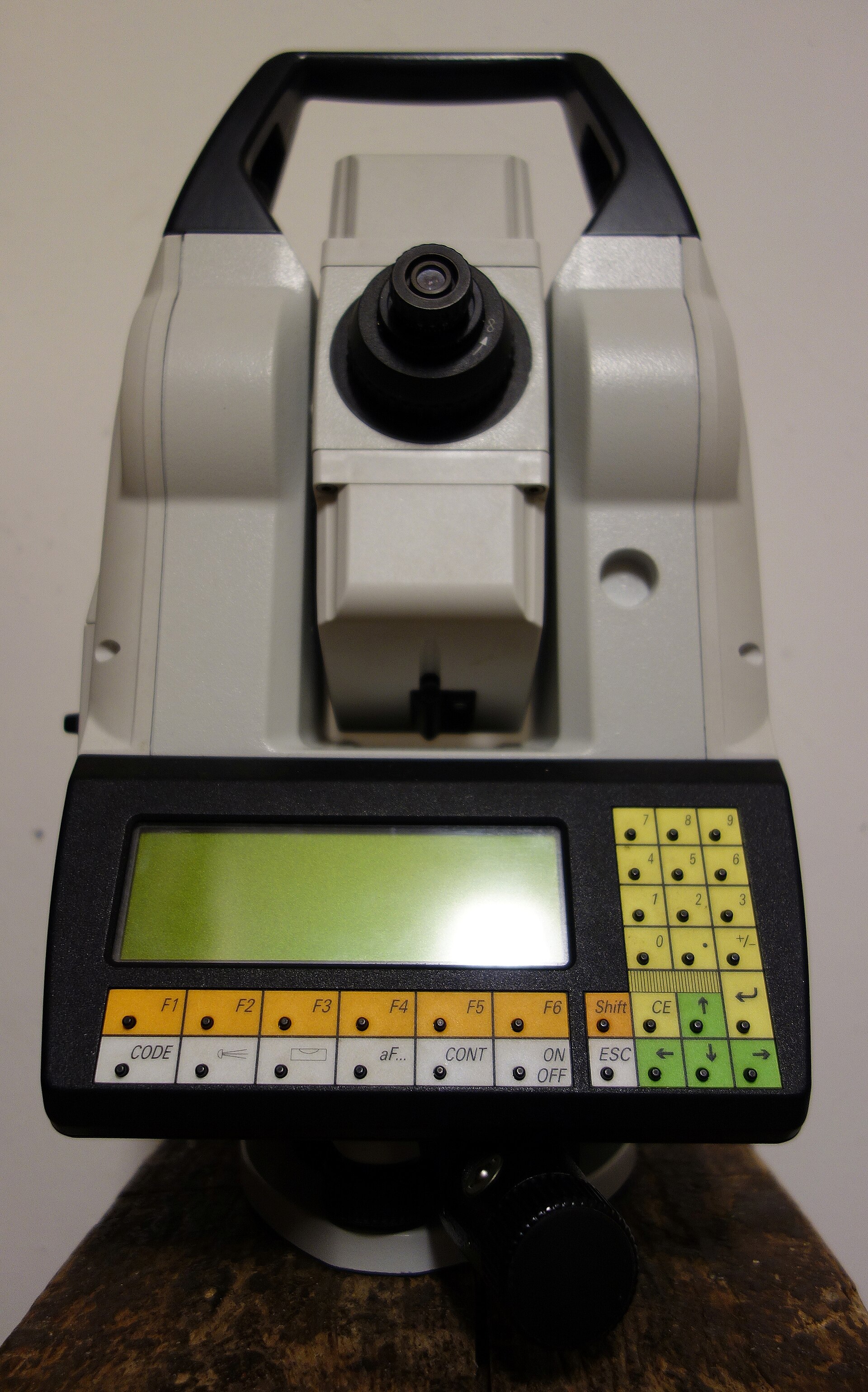
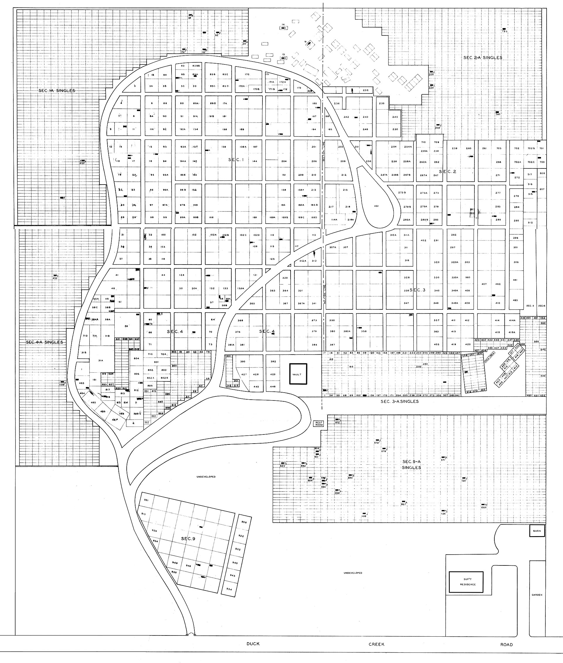
Field photographs. The plan is a plat with no client address.
For more than 50 years, property owners, builders and attorneys across the Jersey Shore and South Jersey have trusted Lakeland for precise boundary, flood-elevation and title surveys — stamped, defensible, and delivered on time.
Field photographs. The plan is a plat with no client address.
Every survey is performed under a New Jersey Professional Land Surveyor and delivered as a signed, sealed plan you can hand straight to your lender, FEMA, your municipality or your title company.
FEMA elevation certs for shore homes.
View service S.02Know exactly where your lines fall.
View service S.03Elevations & site contours for design.
View service S.04For closings, refinancing & lenders.
View service S.05Field layout for builders.
View service S.06Master deeds & unit certifications.
View serviceOn a barrier island, a few inches of elevation can mean thousands of dollars a year in flood insurance. Our FEMA Elevation Certificates document exactly where your lowest floor sits relative to the Base Flood Elevation — the number your insurer, lender and town all rely on.
Our Lavallette office anchors the barrier island and bayfront, and our licensed crews cover nine South Jersey counties on this site — 250+ towns — and work statewide on request. Pick a county for local flood zones, turnaround and the surveys we run there most.
Five decades of New Jersey survey records — and an archive of historic survey histories most firms simply don't have.
Field data captured with leading-edge instruments and tied to control, so your plan stands up to a lender, a board, or a neighbor's attorney.
When another firm doesn't show, clients call us — and we've delivered next-day surveys for time-sensitive closings for years.
Send the address and what you need it for — a closing, a permit, a flood policy, a build. We confirm scope and price, usually same day.
A licensed crew locates corners, structures and elevations on the ground using robotic and GPS equipment tied to record data.
A signed, sealed plan or certificate — formatted for FEMA, your lender, your municipality or your title company.
"I needed a surveyor for a closing the next day. Lakeland went to the property that day and hand-delivered the completed survey the following morning. That level of service is why they're my exclusive surveyor."
"They came the next business day when another company failed to show. Both the owner and the surveyor were professional, thorough, and gave us an in-depth survey at a very good price."
"I playfully call Lakeland WBS — World's Best Surveyor. Whatever I need, whenever I need it, they get it done. In land development, an experienced surveying firm is essential."
When respected New Jersey surveyors retire or close, we acquire their historical survey records. That archive often lets us resolve a boundary, locate an old monument, or answer a title question faster — and at lower cost — than starting from scratch.
Search our survey historiesTell us the address and the deadline. We'll give you a price and a date — fast.